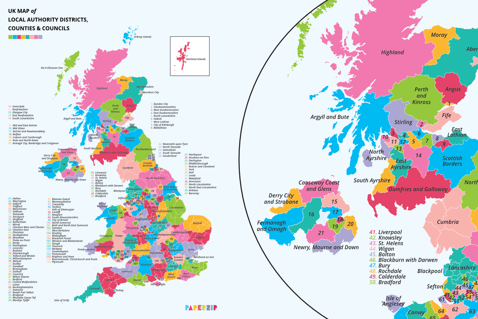
A UK map showing the many boundaries across England, Wales, Scotland and Northern Ireland.
Areas are colour-coded and numbered where appropriate.
The map prints on an A4 page.

A UK map showing the many boundaries across England, Wales, Scotland and Northern Ireland.
Areas are colour-coded and numbered where appropriate.
The map prints on an A4 page.